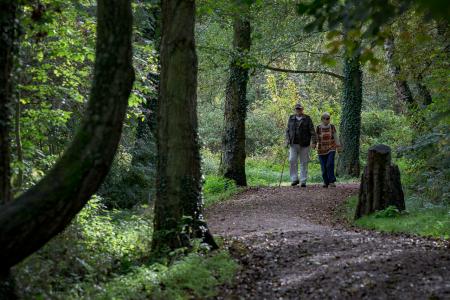
Looking for something to do on the weekend? Why not try walking one of the numerous longer countryside walking routes that exist across Northamptonshire?
Northamptonshire Highways have produced leaflets which map out some suggested walking routes which direct you through the beautiful Northamptonshire countryside.
Scroll to the bottom of the page to download these leaflets...
You can download the leaflets as Adobe PDF files and use them on your mobile phone or print them out to take with you on your trip.
Please note: Some of the documents are scans of an old series of walks created in the late 1980s and early 1990s. As with all suggested walks, we would always advise checking the Rights of Way shown against an up-to-date map or by visiting Northamptonshire County Council’s interactive mapping facility before setting out on your walk
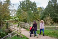
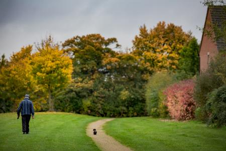
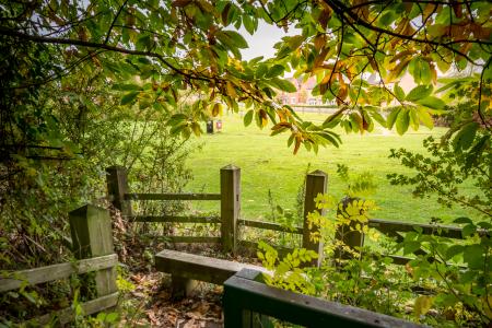
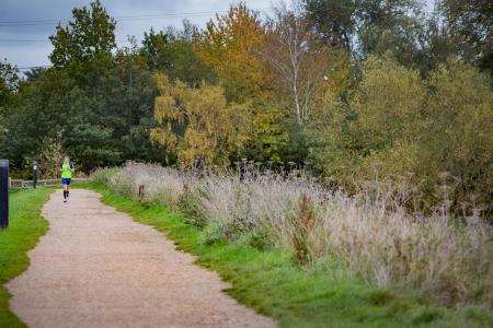
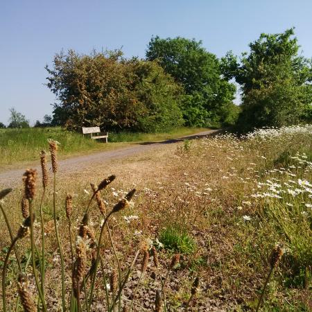
Country Paths
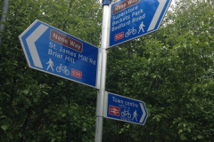
There are long distance routes running in and through Northamptonshire for walking and cycling.
The paths vary in length and difficulty but all offer idyllic walking and cycling through some of our finest countryside...
Jurassic Way
The Jurassic Way is a long distance (88 miles), recreational walking route which travels the length of Northamptonshire and more.
The termini are Banbury in Oxfordshire and Stamford in Lincolnshire, two historic market towns separated by beautiful undulating countryside lying over rocks from the Jurassic Age (145 - 195 million years old).
Lyveden Way
A beautiful walk from Brigstock, through Wadenhoe, incorporating the historic Lyveden New Bield.
Macmillan Way
The Macmillan Ways are coast to coast paths created with a single objective in mind, supporting Macmillan Cancer Relief.
Visit the Macmillan Way website for more details.
Millennium Way
The Millennium Way Trail is a beautiful 100 mile walk in the heart of England offering something for every walker or rambler and taking in stunning countryside in Northamptonshire, Warwickshire and Worcestershire.
Ingeniously, the trail has also been divided into 44 circular walks, ranging from 3 to 10 miles in length, linking together the entire Millennium Way, allowing you to experience short sections of the route at time.
Visit the Millennium Way website to find full details of all the routes
Nene Way
The Nene Way is a long distance recreational route which follows the River Nene for some 70 miles through Northamptonshire.
Northamptonshire Round
The 50 mile circular walking route taking in the pleasant countryside around Northampton was created by the local walking group the Ten Foot Club in 2003.
Visit The Ten Foot Club website for more details.
Uppingham Round
The Uppingham Round is a circular walk of around 80 miles that crosses the south of Rutland. With Uppingham roughly at its centre it passes through the districts of Harborough (Leicestershire), Corby (Northamptonshire) and East Northamptonshire.
A guide book to this walk and details of other walks in Rutland can be found on the Discover Rutland website.
Make your own path...
Fancy making your own route to explore the county?
View Northamptonshire Highways’ Interactive Mapping System to locate all the county's public rights of way and get exploring today!
Please note: The information displayed on the Interactive Map is not 'The Definitive Map' and only shows the approximate location of rights of way in the County. The information on the Interactive Map cannot be used for legal purposes.